Local hiking trail - E5
Local hiking trail - E5
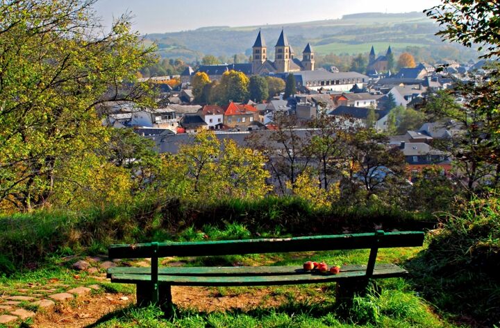
Easy hike at the lake of Echternach, supplemented by a detour to the "Thoull" hill with a beautiful view of Echternach.
This hiking trail has two parts: the first part runs along the lake of Echternach, where, with a bit of luck, you can see herons nesting in the poplars.
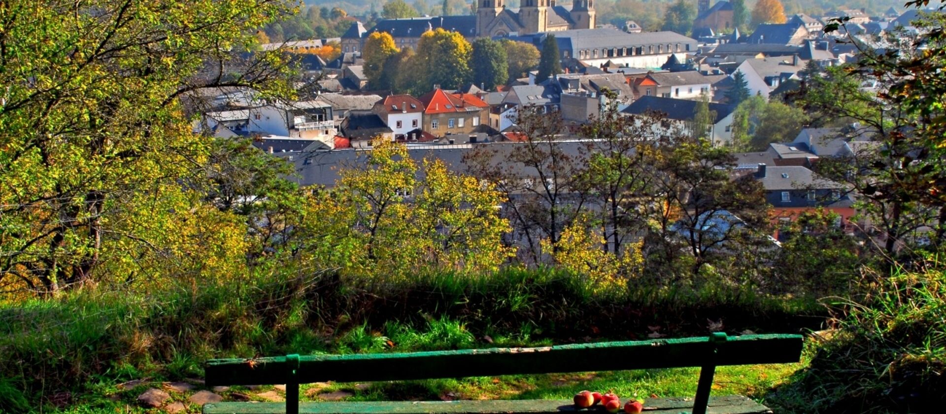
The second part leads away from the lake and up a hill called "Thoull". From there you have a beautiful view of Echternach. This place offers a perfect opportunity for a rest. On the way back you can make a detour to the city center of Echternach and enjoy the old town flair, make a visit or simply stroll and then stop to eat or drink something.
Location
Echternach: Parking lake
Contact
B.P. 152 | L-6402 Echternach
Tel. 00352 72 04 57 1
E-mail : info@mullerthal.lu
Details
Departure : Echternach: Parking lake
Arrival : Echternach: Parking lake
Parking : A parking place is located directly at the starting point.
Distance : 6,3 km
Altitude : 247 m
Time : 01h40
Difficulty :
Itinerary
The local hiking trail E5 starts at the lake of Echternach. First, you walk around the right side of the 30 ha large lake which was made by man in 1975. With some luck, you might see some herons nestling at the top of the poplars. Along the path, you can also see shells of pond mussels, they love the muddy underground of the lake.After rounding the lake in half, continue straight ahead. The path goes left and a bit further, you cross the street and then walk up Rue Gibraltar. This road leads up to the hill and to the viewpoint. When you reach the summit of the elevation Thoull (240 m), take a seat on one of the benches. When descending over a meadow, you have a beautiful view of Echternach with the imposing Saint Willibrord Basilica. After the descent you pass over a narrow path parallel to Lëtschebaach towards the football ground an then to Rue de la Chapelle.
At the end of Rue de la Chapelle, you pass the Chapel of the Virgin Mary. It which dates from the middle of the 17th century. It was built by an abbot of Echternach in the style of the late renaissance. Over the shady Rabat, the path takes you back to your starting point along the Lauterburerbach.
