Local hiking path - B4
Local hiking path - B4
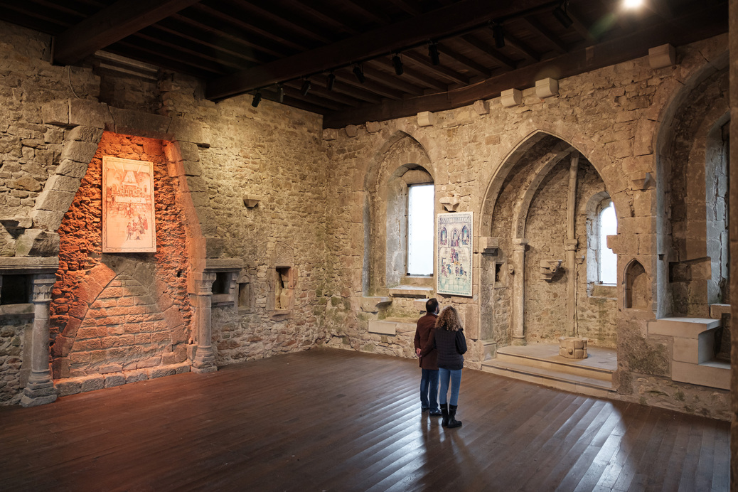
The route starts at Beaufort Castle, passes along the Ale Wéier pond, and offers historical sights.
This walk through the forest begins in Rue du Château, initially passes the tipi village at Camping Plage, and continues along the Alebuerg (remains of an old defensive wall) and Haus Berens. The path runs along the Huschbaach and past the Aleweier and Klingelbur (the old washing place of Beaufort Castle). After that, it is not far back to the starting point.
Location
Beaufort: Castle
Contact
B.P. 152 | L-6402 Echternach
Tel. +352 72 04 57 1 | Fax. +352 72 75 24
E-mail : info@mullerthal.lu
Details
Departure : Beaufort: Castle
Arrival : Beaufort: Castle
Parking : There is a parking lot on site
Distance : 6,1 km
Altitude : 402 m
Time : 01h50
Difficulty :


