Local hiking trail - M3
Local hiking trail - M3
Easy and comfortable hike in a rural environment.
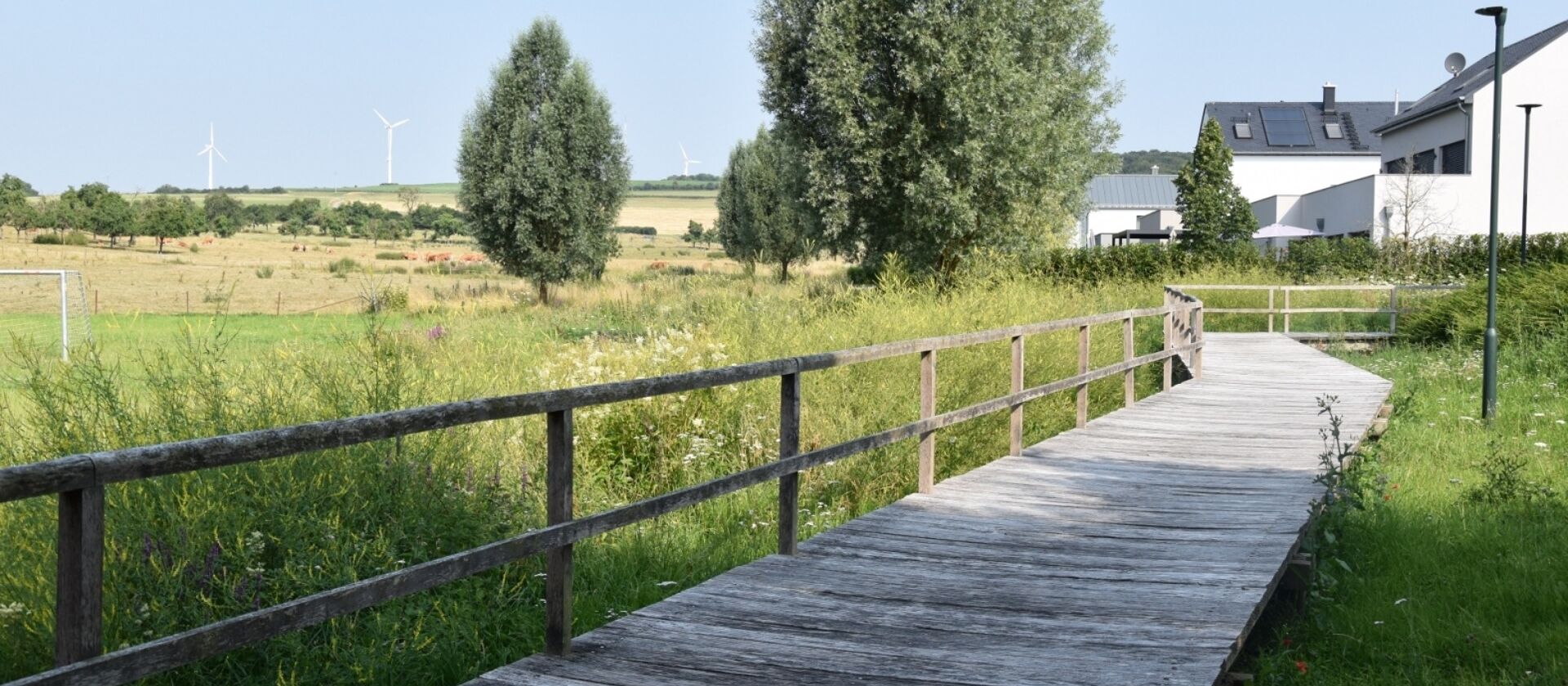
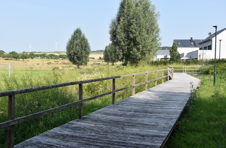
This easy hike runs in the nearby surroundings of Mompach. It leads through a peaceful landscape lined with orchards and along the first wind turbines in Luxembourg.
You also pass through varied forest sections and pastureland. Once back in Mompach, the trail ends at a small, sustainably built residential area and at the near-natural Klengelbach stream.
Location
Mompach: Church
Contact
B.P. 152 | L-6402 Echternach
Tel. +352 72 04 57 1 | Fax. +352 72 75 24
E-mail : info@mullerthal.lu
Details
Departure : Mompach: Church
Arrival : Mompach: Church
Distance : 4,0 km
Altitude : 364 m
Time : 01h05
Difficulty :


