Mullerthal Trail Route 3
Mullerthal Trail Route 3
Attention! Due to construction work, the hiking trail between the Heringer Millen and the Schiessentümpel has temporarily taken a different route. Please follow the signposting on site or the route of the GPX, which can be downloaded here.
Magical stream valleys, spectacular rocky landscapes and romantic castles characterize Route 3 of the Mullerthal Trail.
The approximately 112 km long Mullerthal Trail consists of three loops (Route 1, Route 2 and Route 3).
Route 3 is characterized above all by enchanting stream valleys and romantic castles. It can be hiked in two daily stages.
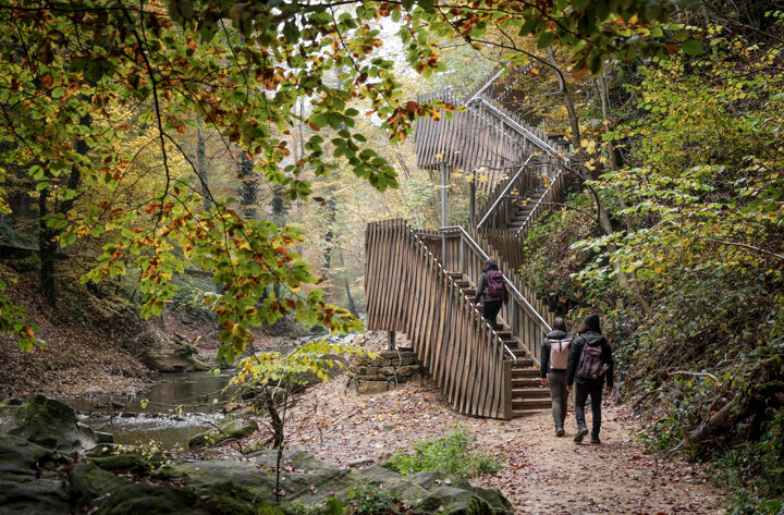
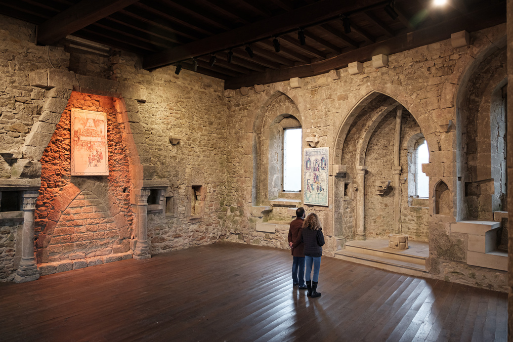
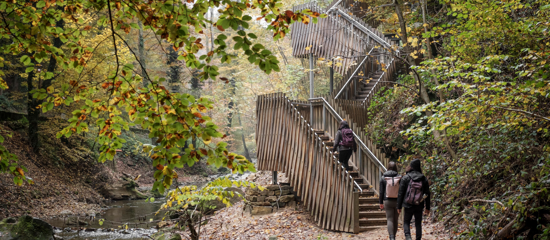
There are two castles on the route, both of which have their own character: the castle ruins in Larochette and the Beaufort castle ruins and the Renaissance castle. In addition to the castles, the route leads along protected stream valleys, through forests, along rocks and to spectacular views. A 700m long wooden footbridge leads to the Kallektuffquell on this route, a mossy rock emerges from the water and gathers in a basin - here you can experience a colorful spectacle of colors in every season.
Route 3 also leads past the landmark of Luxembourg tourism: the Schéissendëmpel - a waterfall with a small, romantic bridge.
Location
Mullerthal - Blumenthal - Larochette - Beaufort
Contact
1, Rue des Moulins | L-6245 Mullerthal
Tel. +352 72 04 57 1 | Fax. +352 72 75 24
E-mail : info@mullerthal.lu

Details
Departure : Mullerthal - Blumenthal - Larochette - Beaufort
Arrival : Mullerthal - Blumenthal - Larochette - Beaufort
Distance : 37,6 km
Altitude : 420 m
Time : 11h05
Difficulty :
Itinerary
In the locality of Mullerthal, Route 3 of the Mullerthal Trail is touching Route 2. Mullerthal is a good starting point for this Route but also other villages like Beaufort, Medernach, Larochette or Heffingen.If you start in Mullerthal, you walk along the Black Ernz towards Beaufort crossing the beautiful valley of Halerbaach. From Halerbaach the brook becomes Haupeschbaach leading you right in front of the Castle of Beaufort. The impressive ruin invites you for a visit during which you can also try the famous Cassero, a black currant liqueur still produced in the castle. There are several places to stop and rest in Beaufort.
The Mullerthal Trail takes you along the Halerbaach out of Beaufort again towards Medernach and then until Larochette.
In Larochette, you are welcomed by the impressive ruins of the castle which give the locality its unique shape.
Larochette offers many places to have a rest and it’s worth taking a break in this picturesque place.
You then walk along the brook White Ernz towards Blumenthal, a part which lies on a high plateau and thus offers wonderful views.
From Blumenthal, the Mullerthal Trail leads through Marscherwald, a peaty, light beech forest and along the Black Ernz. Over a wooden bridge you reach the most impressive Kallektuffquell (tavertine source).
You continue heading to Mullerthal. You arrive to Schéissendëmpel, a cute small cascade which was decribed already in Route 2. After almost 1 kilometer, you reach again the locality of Mullerthal.
